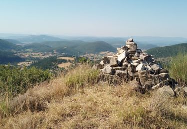
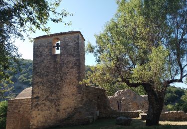
9.6 km | 12.7 km-effort
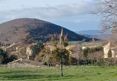
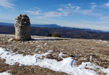
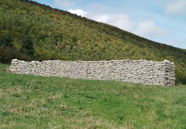
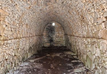
Vières - Font Martine - La Blanchère
dsurin
User
Length
9 km
Max alt
1126 m
Uphill gradient
222 m
Km-Effort
12 km
Min alt
904 m
Downhill gradient
224 m
Boucle
Yes
Creation date :
2022-08-15 15:17:11.0
Updated on :
2022-08-15 17:44:13.214
2h26
Difficulty : Easy
FREE GPS app for hiking
About
Trail Walking of 9 km to be discovered at Provence-Alpes-Côte d'Azur, Alpes-de-Haute-Provence, La Rochegiron. This trail is proposed by dsurin.
Description
Vières - Font Martine - La Blanchère - retour Paris le chemin de La Roche
Positioning
Country:
France
Region :
Provence-Alpes-Côte d'Azur
Department/Province :
Alpes-de-Haute-Provence
Municipality :
La Rochegiron
Location:
Unknown
Start:(Dec)
Start:(UTM)
713772 ; 4885648 (31T) N.
Comments
Trails nearby
Le Contadour - Banon
Walking
Medium
(1)
Redortiers,
Provence-Alpes-Côte d'Azur,
Alpes-de-Haute-Provence,
France
2h 10min
Yes
SAUMANE JAS DE LA CHAPELAINE O N **
Walking
Difficult
Saumane,
Provence-Alpes-Côte d'Azur,
Alpes-de-Haute-Provence,
France
17 km | 26 km-effort
4h 48min
Yes
saumane goi contras 17.84kms 1090m
Walking
Medium
Saumane,
Provence-Alpes-Côte d'Azur,
Alpes-de-Haute-Provence,
France
17.3 km | 29 km-effort
6h 58min
Yes
lardiers.le jas du grand chêne
Walking
Medium
Lardiers,
Provence-Alpes-Côte d'Azur,
Alpes-de-Haute-Provence,
France
9.1 km | 13.6 km-effort
3h 30min
Yes
larochegiron.fon martine
Walking
Medium
La Rochegiron,
Provence-Alpes-Côte d'Azur,
Alpes-de-Haute-Provence,
France
8.7 km | 12.6 km-effort
3h 51min
Yes
les bergeries de saumane. 1
Walking
Difficult
L'Hospitalet,
Provence-Alpes-Côte d'Azur,
Alpes-de-Haute-Provence,
France
11.7 km | 16.8 km-effort
4h 27min
Yes
saumane . les girons, clos guilhen, foureynard, la tour
Walking
Medium
L'Hospitalet,
Provence-Alpes-Côte d'Azur,
Alpes-de-Haute-Provence,
France
10.4 km | 14.8 km-effort
3h 54min
Yes
la rochegiron 04.fon Martine, la blanchere, veire
Walking
Medium
La Rochegiron,
Provence-Alpes-Côte d'Azur,
Alpes-de-Haute-Provence,
France
8.7 km | 12.4 km-effort
2h 52min
Yes
l hospitalet. les anglais.la plus haute grange.la bergerie sans nom
Walking
Easy
L'Hospitalet,
Provence-Alpes-Côte d'Azur,
Alpes-de-Haute-Provence,
France
5.6 km | 8.4 km-effort
2h 6min
Yes